The LiDAR Portal continues to run well, and our user numbers have now gone over 600! Welcome to all our new users, and thank you to everyone coming back to help. We’ve continued to roll out new features, including the ability now to get a grid reference read out, to make it easier for you to share and discuss your findings on the forum.
This post however is going to be about something a bit different from LiDAR… as the Beacons of the Past project has just finished it’s first week of doing some “proper” old fashioned archaeology and sticking trowels in the ground!
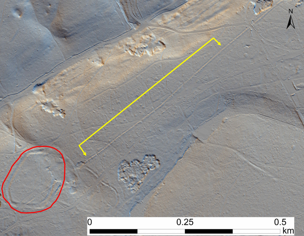
We have been working with the City of London Corporation at Burnham Beeches, South Bucks, to investigate a linear feature running through the woods there, which has a relationship to the possible hillfort of Seven Ways Plain.
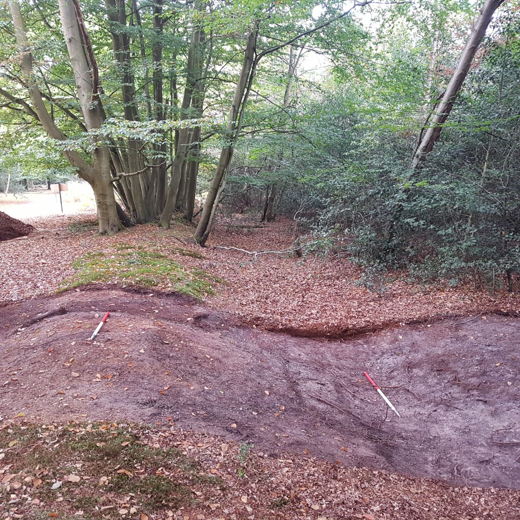
We are digging a trench across the linear feature, with the aim of discovering its true profile: the bank is presumably eroded from its original height, and the ditch heavily silted up. Volunteers have been working with our excavation project officer Robin Bashford to work down through the stratigraphy on site.
5 days in, finds have been predictably few and far between, but the ditch is turning out to have some significant depth to it, and we hope we may find some dating evidence from its lower fills, and some good “sealed” soil samples preserving environmental evidence.
It is possible that this feature is simply a wood bank – a medieval feature demarcating the edge of property, and preventing cattle entering the wood and browsing on precious trees and coppice stools. However, the size of the feature perhaps suggests it could be something different, and altogether older – perhaps even a prehistoric linear earthwork, an ancient division in the landscape. Fingers crossed we will be able to find out in the coming week!
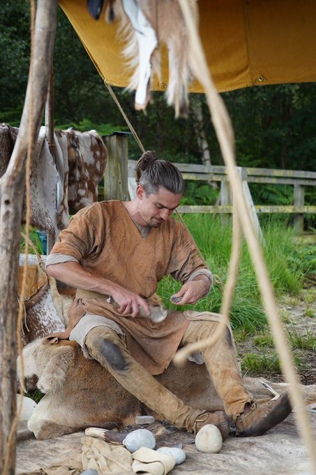
You are very welcome to pop along to see the dig “in action” if you are in the area, and we are holding an Open Day on Saturday 14th September, with tours of the site and wider area, and loads of activities including Iron Age copper smelting, cookery, flint tool knapping, and much more! Come on down between 11 am and 4 pm. You can find out more information here (no need to book, just come along!):
https://www.eventbrite.co.uk/e/prehistory-at-burnham-beeches-tickets-65538500419