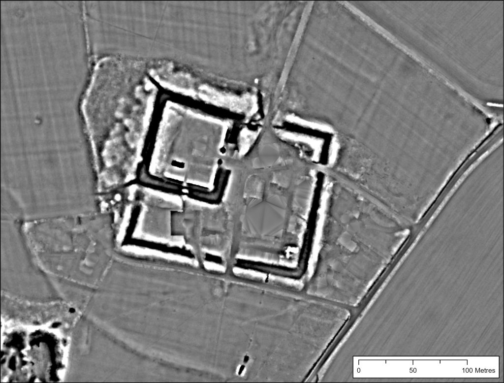
An update on progress, as we have just passed the three week mark with the portal! Thanks everyone for all the support and help so far. We are up to around 450 unique users now, and nearly 1000 sites have been transcribed into the Citizen Record Database, so excellent work!
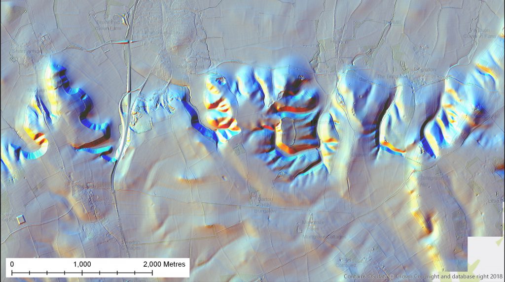
The portal has slowly been gaining features and fixes, including the addition of a measuring tool, so you can now check how large a particular feature is, and our second visualisation type is going to be up and running any day now: the multi-directional hillshade imagery. You can read more about how that has been created, and its strengths and weaknesses, in the Visualisations tutorial. With this visualisation we’ve made sure you can zoom all the way in (meaning an extra day of processing, and 10 GB or so of extra imagery…!), and hopefully it will give you quite a different view of the landscape from the Local Relief Model.
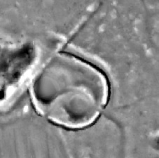
Discussions on the forums have also started well, with lots of excellent comments coming in, some fantastic knowledge being shared, from local histories to geological insight, to help interpret intriguing features spotted in the LiDAR. My particular favourite was user Daverrm pointing out that you can clearly see the platforms of the reconstructed roundhouses, one standing, one now demolished, at the Chiltern Open Air Museum! Experimental archaeology coming through into the LiDAR.
We will be aiming to update this blog more regularly now going forward. So check back soon, as we have posts coming to tell you more about what the data are showing us, you can expect some individual case study profiles, we’ll be letting you in on the plans for the review stage of data analysis, and as summer turns to autumn and vegetation starts to die back we’ll be starting to plan some field-checking outings! Stay tuned…