Hello and welcome to the Chilterns AONB’s “Beacons of the Past” Citizen Science LiDAR Portal!
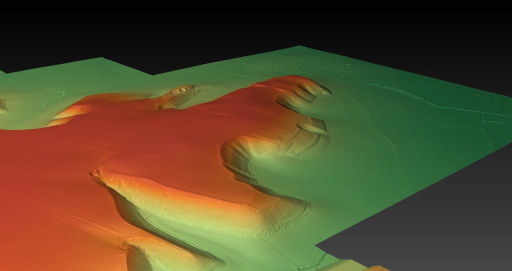
This website makes available the results of (at the time of writing) the largest bespoke LiDAR survey yet flown for archaeology in the UK. This is a type of remote sensing carried out using a plane-mounted sensor sending out laser pulses towards the ground and detecting the “echoes.” The data we gather show us the fine detail of all the lumps and bumps on the ground, including many types of earthwork created by people living and working in this landscape over thousands of years.
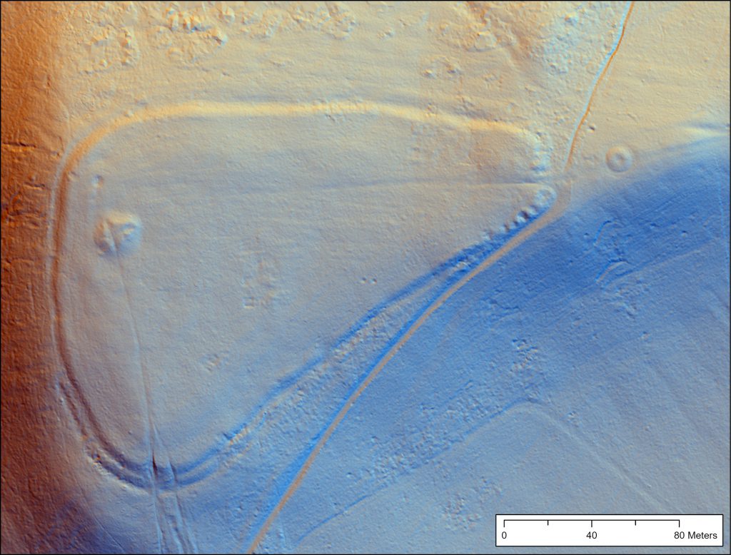
The survey has been carried out as part of the National Lottery Heritage Funded “Beacons of the Past” project, based at the Chilterns Conservation Board. This 3.5 year project, which started in April 2018, aims to bring the archaeology of the Chilterns to life, with a particular focus on Iron Age remains in the region, especially hillforts. The project is being run by a team of two, Dr Wendy Morrison, and Dr Ed Peveler.
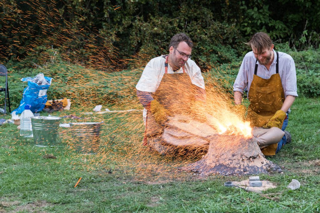
Over the next few years we will be getting out into communities and schools to share our passion for history and archaeology; we will be working to improve the information available for visitors to the Chilterns about the incredible archaeological remains hidden within the woods and valleys, and we will be working to protect these sites for future generations.
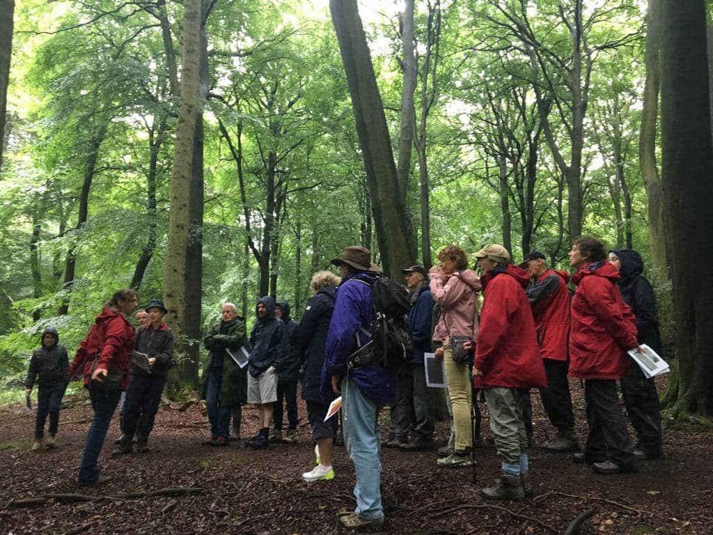
The LiDAR forms a central part of the project, and here we are
presenting, for the first time ever, this incredibly rich and interesting dataset for the wider public to explore and help transcribe archaeological remains. Come on in, check out the “Tutorials” to learn more about this amazing technique, get exploring the incredibly deep history of our landscape on the “Citizen Portal,” and join us on the forum to discuss what you have found.
